Pages

Showing posts with label National Park: Arches. Show all posts

Friday, March 22, 2019

Arches National Park

Continuing the saga of last October's Last Hurrah trip, we awoke to rain in Moab, Utah on the morning of October 11. We decided to go ahead with our plans to visit Arches National Park. We'd been there several times before, so getting more photos wasn't critical. We reasoned that, if the rain continued, we would just enjoy a drive-through tour and then maybe find a place to park where we could enjoy the view and read for awhile. We bought some sandwiches at a local convenience store for a lunch to be eaten later at the national park.

By the time we arrived at the park, the rain had let up considerably, and we began hopping in and out of the car during the light drizzle to get a few photos.

Park Avenue, from the overlook
Ship Rock
Balanced Rock
Doug and Me at Turret Arch
North and South Windows

There are a number of people under the North Window, to the left. If you can find them in the photo, you'll get some perspective on the size of the arch.

Turret Arch

That speck on the upper right of Turret Arch is a woman who decided to climb to the top. See the picture below for proof.


The top left photo in the following collage shows the entrance to Sand Dune Arch, between large sandstone "fins." Under that photo is a picture of the arch that is found in this cave-like setting. And, on the right, is the view when exiting. 


One thing that makes Sandstone Arch so special is that those tall sandstone fins keep the spot in shade almost all day. Arches National Park is usually a very hot place to visit. This time, it was so cool that we needed winter jackets. I loved it! Anyway, on those hot, hot days, the shade available at Sandstone Arch is truly a blessing.

When we exited Sandstone Arch, we found that the last of the rain had left; and the late-afternoon sun was lighting the rock formation directly opposite the entrance to Sandstone Arch. 

View of Rocks Opposite Sandstone Arch

As we were walking back to our car, Doug saw another path through more sandstone fins and just had to follow it.


The photo on the left shows the path leading between the fins. The image on the top right shows Doug at the top of the path, just entering what we would refer to as a box canyon. The photo on the bottom right shows Doug at the back wall of the space.

A return visit to Canyonlands National Park, Island in the Sky, was on our agenda for the next day. More on that next time.


Tuesday, January 14, 2014

Arches: Sand Dune Arch & Delicate Arch

More from Arches National Park on September 24...

Sandstone Fins

This narrow, uphill path leads between two sandstone fins on the way to Sand Dune Arch.

Sand Dune Arch (and me)

It's always hot at Arches National Park. On this day, it was relatively cool...about 80 degrees Fahrenheit. But the sun is very intense, and there's almost no shade. When we got to the parking lot for Sand Dune Arch and Broken Arch, Doug and I split up. I went to Sand Dune Arch because it was closer. He followed the longer trail toward Broken Arch.
 
Because Sand Dune Arch is in a narrow space between two tall sandstone fins, it's like being in a cave...shady and much cooler. And the sand makes it seem like a beach. A young family was picnicking in there, letting their small children play in the sand. They were the only ones there when I entered. The young mother, seeing that I was alone, offered to take my picture.
 
At Sand Dune Arch, looking back toward the entrance, where Doug was approaching.

I'd been lugging my camera and a spare lens around all day. But, I decided to leave my wide-angle lens in the car and carried only my telephoto lens when I went to Sand Dune Arch. Well, since Sand Dune Arch is in a narrow place between sandstone fins, I couldn't get back far enough to get a decent shot, and I really didn't want to walk back to the car to get the other lens.
 
Fortunately, Doug was able to get this shot with the camcorder.

Broken Arch is not really broken. Its name comes from the fact that there is a large crack in the middle of its formation.

Broken Arch
Photo taken by Doug with the camcorder.

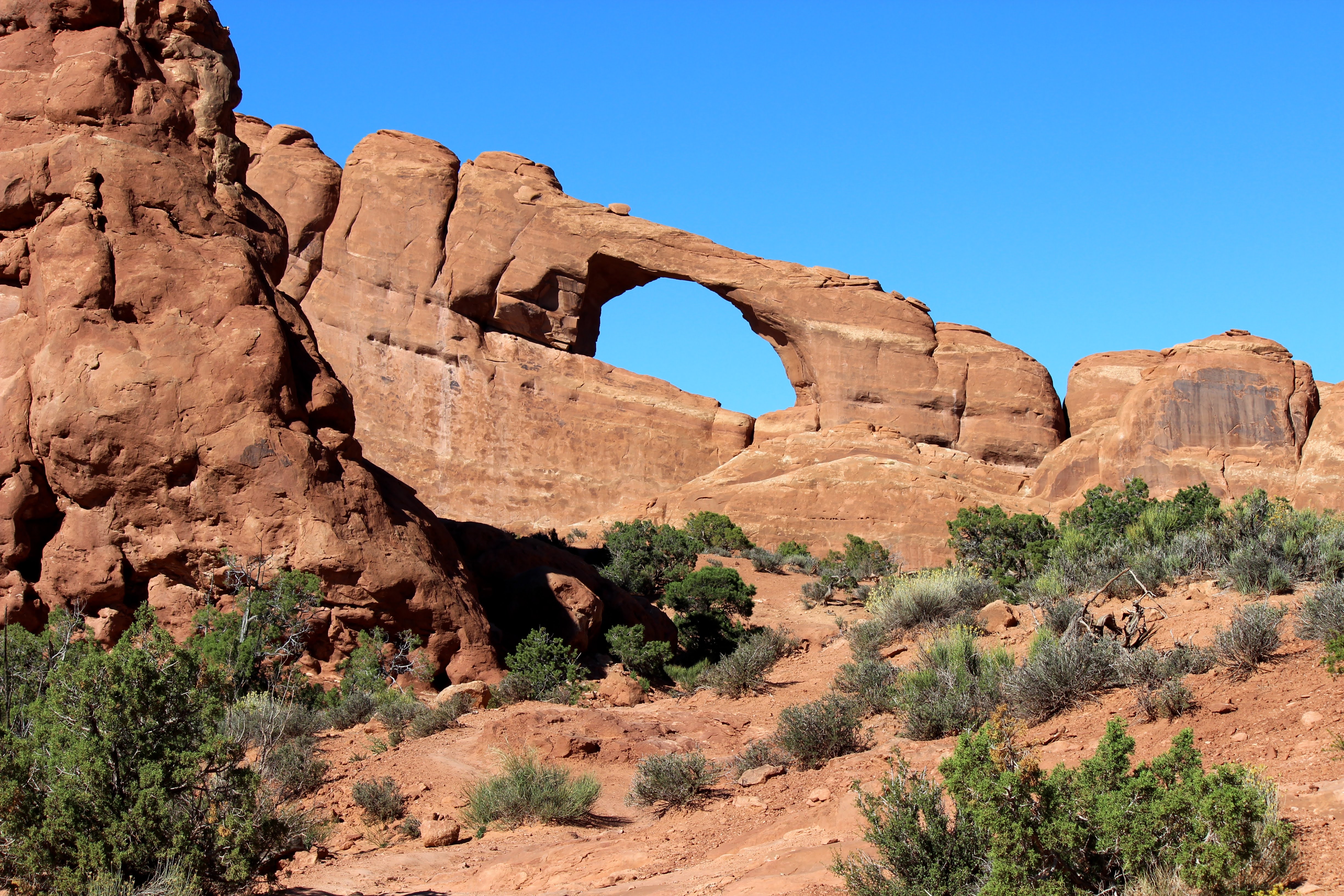
Skyline Arch

A view from the trail to the Delicate Arch overlook

Delicate Arch from Overlook

Delicate Arch from Overlook
 
This beautiful arch is much larger than you might think, as can be seen by how tiny the people look on the ridge and near the base of the arch.

Delicate Arch can be seen from below and photographed nicely if a long lens is available. There is a trail that leads to the base of the arch, but it's long and hot and can be slippery. It does provide great photo opportunities, though, with the LaSal Mountains visible through the arch. 
 
We took a shorter trail to an overlook that brought us closer to the arch but not to the base of it. Even that trail was difficult. It was an uphill climb on a hot day. I'm not sure I'd do that again. I think I could be satisfied with whatever shots I could get from below. A tripod and a long lens would surely be easier.

This wraps up my posts from Arches National Park. Next time, I'll share some photos from the Needles district of Canyonlands National Park.


Saturday, January 11, 2014

Arches: Several Arches & Fiery Furnace

Continuing with photos from Arches National Park on September 24...

Double Arch
For perspective, see if you can spot the people under the arch.

North Window Arch
Again, the people lend perspective.

Turret Arch

Doug and I at South Window Arch

North Window (left) and South Window (right) as seen from trail to Turret Arch

A rock formation and LaSal Mountains, from Turret Arch

Fiery Furnace

Fiery Furnace

The Fiery Furnace area is so named because of it's glowing red color when lit by the setting sun.

There's so much to see at Arches that it will take yet another post to wrap up our visit there.


Wednesday, January 08, 2014

Arches: More Rock Formations

Today's post features more of the interesting and beautiful rock formations from Arches National Park. All photos are from September 24, 2013.

These formations are known as the Three Gossips (left) and Sheep Rock (right).

Can you see the sheep formation resting on top of Sheep Rock? A little imagination may be required.


Looks like an arch is forming on the side of this wall of rock.


For some reason, this one makes me think of Barney, the purple dinosaur.


Balanced Rock


The next post from Arches National Park will include photos of some of the arches for which the park is named.


Sunday, January 05, 2014

Arches: Some Rock Formations

Arches National Park, located near Moab, Utah, offers an amazing landscape of contrasting colors, landforms, and textures unlike any other I've ever seen. The park is reported to have over 2,000 natural stone arches, in addition to hundreds of soaring pinnacles, massive fins, and giant balanced rocks.
 
The photos in this post are from our visit there on September 24, 2013. I took so many pictures that day, that it will take multiple posts just to share some of my favorites.

This formation is close to the entrance of the park.

You can see one of the balanced rocks, just right of center.

Here's a closer look at that one; and look at the tall one at ground level.

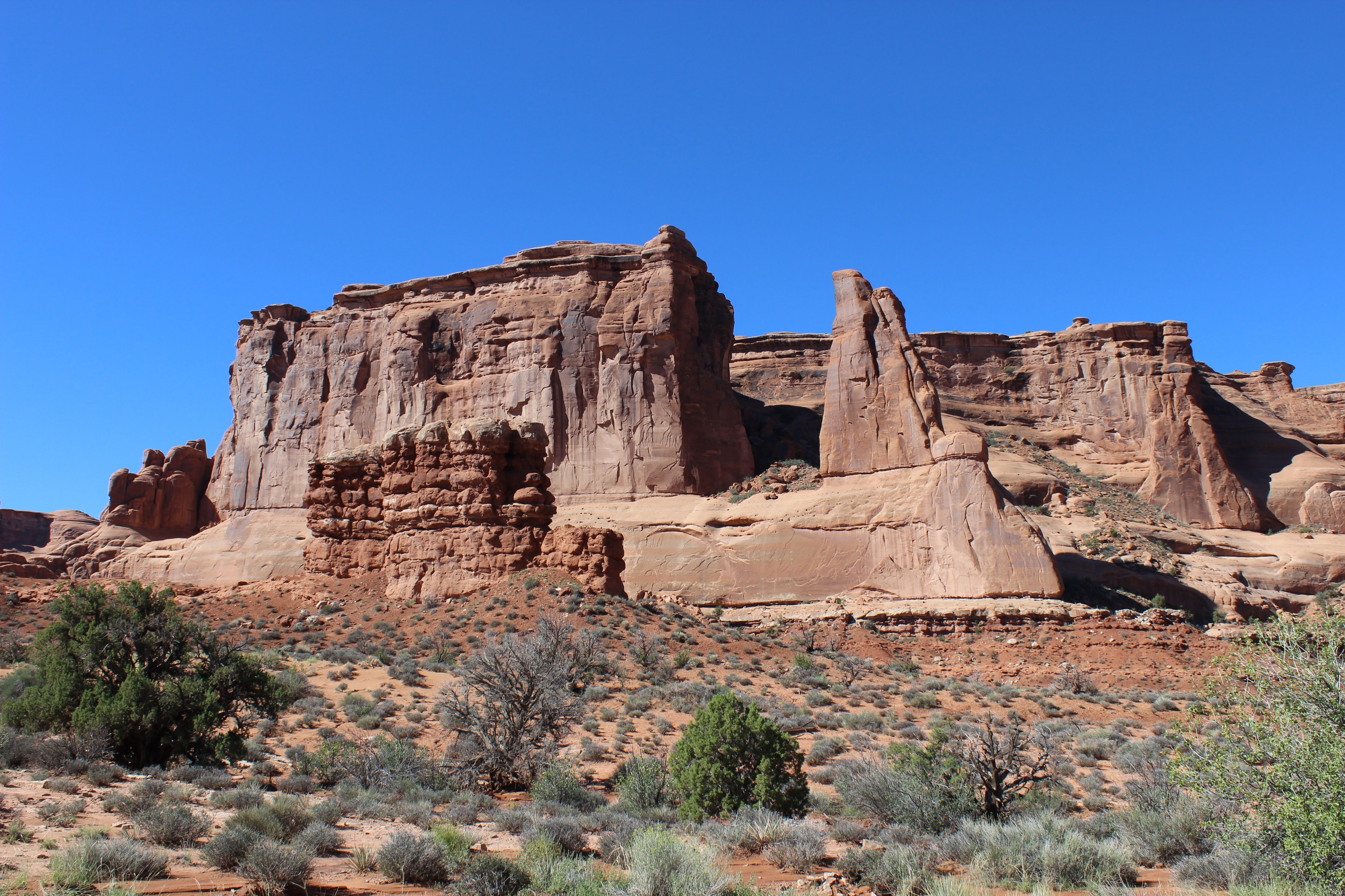
This area is called "Park Avenue."


Everywhere you look in this park, there's a photo op. It's just so gorgeous. And that's why you'll be seeing more of it in the next few posts.


Friday, March 11, 2011

Arches National Park

I had visited Arches National Park back when it was just a National Monument, many years ago, and had loved it. I was anxious to share it with my hubby when we took our western vacation in 2009.

It was early afternoon when we entered the national park. As I had hoped, Doug was in awe over the magnificent and unique rock formations that were everywhere we looked. It was hard to know where to point the camera. 


We drove the 18-mile scenic drive through the park, stopping at nearly every scenic viewing area and walking to the overlook. Most of those were very short walks, but a few were longer.

Balanced Rock

The temperature was in the upper eighties, with a mighty hot sun beating down on us; so, in spite of being approximately 5,000 feet above sea level, it was HOT! But we had a great time anyway. We slathered on the sun screen and wore our straw hats and got by all right.


Turret Arch

North and South Windows

Double Arch

Delicate Arch

The walk to the base of Delicate Arch would have been a three-mile round trip. We would have loved to do it, but we hadn't planned for it. So the above photo was made possible by a zoom lens.

On our way to see Landscape Arch, a round trip of 1.6 miles, we got caught in a surprise rain shower. We were carrying the digital camera and the camcorder and hadn't brought their cases with us. So we were trying very hard to keep them dry, but we kept walking. The rain didn't last long and it never did become a downpour. The cameras survived all right, but we won't do that again.


Landscape Arch

Landscape Arch is considered to be the second longest natural arch in the world, measuring more than 290 feet. Since 1991, three slabs of sandstone have fallen from the thinnest section of Landscape Arch, prompting the Park Service to close the trail that once passed beneath it.

It was 8 PM by the time we left the Park. We returned to Moab and had supper at a fast-food restaurant. Then we drove around town a little. The stores were mostly still open, and the restaurants and bars appeared to be hopping. We parked on the street and got out and joined the crowds for a little while, browsing in a few shops, before calling it a day and heading back to the Apache Motel.


Related Posts Plugin for WordPress, Blogger...